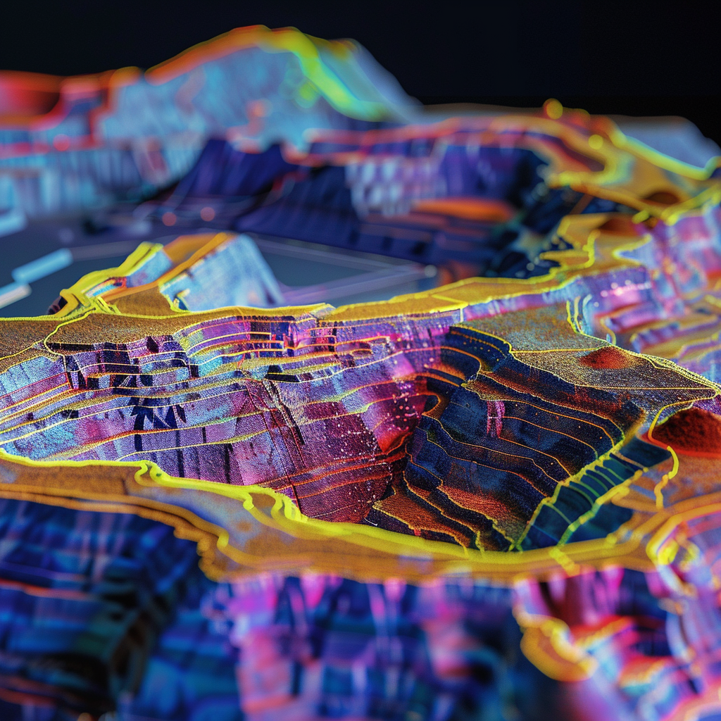
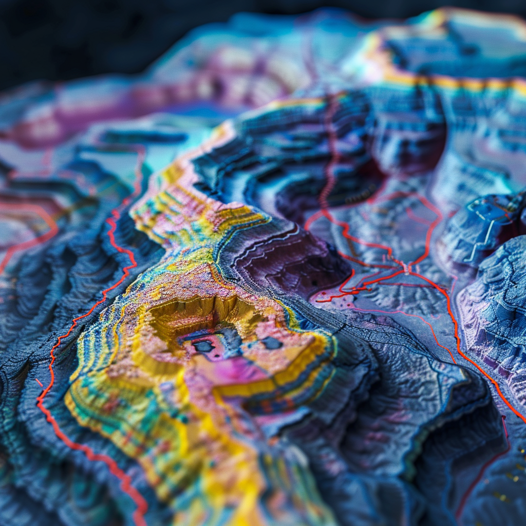
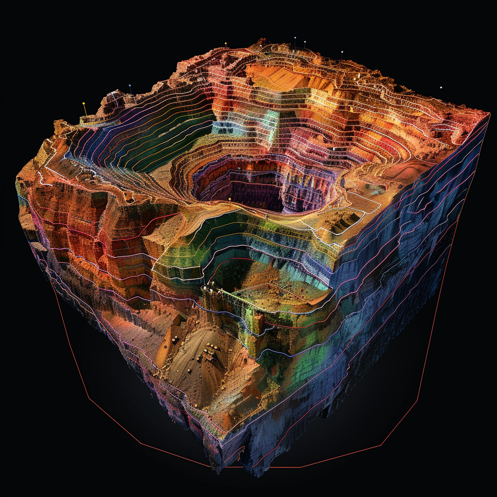
Industry experts trust our results & quality of work

We're crunching 1000s of KMs²
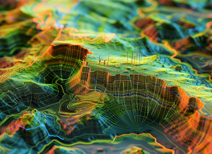
4Point is developing Predictive AI/ML to accurately map 1000s of KMs² around the globe, using public & private data. Use our modelling to accurately drill your future cores, saving you big time + money.
Innovative Solutions
Geophysical machine learning can evaluate a site for economic mineralization even before any physical exploration begins.
Experienced Team
Our world-class team enables mining and exploration companies to find rare hidden worldwide deposits, shallow or deep, uncovered or covered.
Services We’re Offering to Our Customers
Data Generation
Proprietary machine learning can compare public & private datasets.
Orebody Modelling
AI is used to make informed decisions about mining & processing operations.
Predictive Map Analysis
Create prospectivity analyses, drill targeting, prediction maps, and more.
AI Resource Identity
Uncover detailed mine-site profiles across most commodities & countries.
The 4-point working process to get amazing results
Dig into the future
of mining
Leaders in Geophysical Artificial Intelligence & Machine Learning

20 years in tech +
30 years in mining
Leaders in Geophysical Artificial
Intelligence & Machine Learning
Identify Data Sources: Collect multi-source geospatial data such as geological maps, remote sensing data, geophysical surveys, and historical exploration records. Utilize sources like Landsat, Sentinel-2, USGS MRDS, and government geological surveys.
Data Preprocessing: Clean, normalize, and integrate the data into a centralized repository. Use ETL pipelines to automate this process, ensuring data consistency and quality.
Create Evidential Layers: Develop spatial proxies of ore-forming processes using the collected data. This includes creating layers for geological structures, alteration zones, geochemical anomalies, and other relevant features.
GIS Tools: Utilize GIS software like QGIS or ArcGIS to visualize and analyze the spatial data. Generate maps and layers that highlight key geological features.
Generate Prospectivity Maps: Apply the trained models to generate mineral prospectivity maps. These maps should highlight areas with high potential for mineral deposits based on the integrated geospatial data.
Validation & Calibration: Validate the predictive maps against known occurrences and adjust model parameters to improve accuracy.
Feedback Loop: Incorporate feedback from clients to continuously improve the models and the platform. Regularly update the data and retrain the models with new information.
Research & Development: Invest in R&D to explore new machine learning algorithms and data sources that can enhance predictive accuracy and exploration efficiency.


